Category Archives: Parks and Plazas

Ceiba de Colon

Ceiba de Colon

The Ceiba de Colón is a historical tree located near the mouth of the Río Ozama. Legend states that this is where Christopher Columbus moored his ship the Santa María when he first arrived in the Americas.

Ceiba de Colón and the new tree protecting it.


The trunk of the Ceiba de Colón, mostly covered in cement now, has been protected throughout history. The Dominican people tried to keep the tree upright and alive as long as possible. But, as all trees do, it just got old. The trunk began to split, become hollow and finally, the tree fell. All that remains of that tree is cement and stone that were used to cover the original tree trunk.

Ceiba de Colon in 1905

Today there is another Ceiba tree growing next to the original cement covered trunk. It is said to be there to protect the original tree. Akin to a daughter, with its arms outstretched, covering and protecting the elderly mother from all the world’s troubles.

Ceiba de Colon where Columbus moored his ship


About The Ceiba

The Ceiba tree throughout the history of the world has been shrouded in many myths and legends. It is said the roots of this ancient tree can reach to the deepest parts of the underworld and also represents the terrestrial realms. In Mayan mythology, the Ceiba, or tree of life, is said to hold up the sky. It is the national tree of Guatemala. It is a common tree found in warm, tropical regions. The Ceiba can grow to be very tall and its branches form a huge shady canopy.

Cebia de Colon seen from Fuerte del Angulo

Update. Read the news story The Historical and Legendary Ceiba Colón Partner Has Fallen written 9-2019.


Location

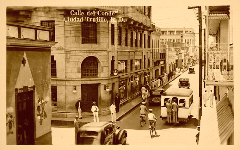
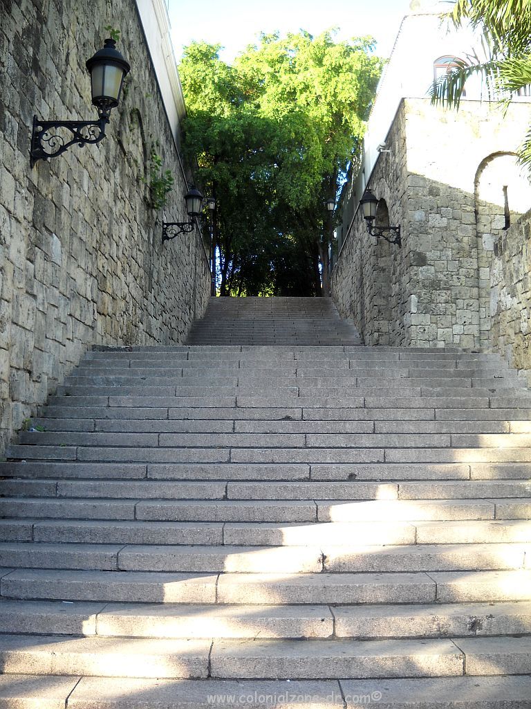
Near Puerta de las Atarazanas and Avenida del Puerto (Av. Francisco Alberto Caamaño Deño). It is easily spotted when entering the Colonial Zone from the Puente Flotante. Walking, go north from Calle el Conde past Plaza España, down the stairs. Continue walking along the wall of the original city up Calle Atarazanas. Walk to a small Plaza at The Fuerte de la Carena and Fuerte de Angulo, where the road ends. Look over the wall at the cannon and you will see the cement covered stump standing all alone.


Sun Dial

Sun Dial/ Reloj de Sol

The historical sun dial, Reloj de Sol, is another of our UNESCO World Heritage sites. It was erected during the reign of Carlos III in 1753 and is one of the oldest sun dials in all the Americas.

The Reloj de Sol in the morning light

The sun dial was used as the official time-teller in Santo Domingo. The face of the dial could be seen from the government offices in the Casas Reales. This way the government officials were able to record the correct time on official documents.

The faces of the Reloj de Sol

The dial sits in the center of the Plaza Reloj de Sol. It sits atop a large stone pillar. There are two vertical dials or faces and a equatorial dial on top. The Southeast face is for the morning time to be seen and the Southwest side is for the afternoon hours. The large metal plate with its raised parts show the hours by the shaded markings.

On the very top of the pillar is the newer equatorial dial that was placed there in 1992. The original dial was lost during a hurricane.

Plaza Reloj de Sol, the sun dial and Casa Reales.

Location

: Calle Las Damas in the small Plaza Reloj de Sol in front of the Casa Reales.

Calle el Conde

Calle el Conde/ Street of the Count

Calle el Conde is the oldest commercial street in the city of Santo Domingo de Guzmán. It runs directly through the center of Colonial Zone from Puerta Independencia (Puerta del Conde) to the Escaleras del Conde that end at the Malecon at Rio Ozama.

At the beginning (or the end) of Calle el Conde is Puerta del Conde at the entrance to Parque Independencia at night.

This pedestrian only street is named after the Count of Peñalva, Bernardo de Meneses y Bracamonte, the captain general of Santo Domingo. Some of the manes this historical street has been called include Calle de la Separación, Clavijo, Imperial, 27 de Febrero and Real.

Calle el Conde at Hostos 1940's
Calle el Conde at Hostos 1940’s

El Conde runs through the center of the colonial city. It is very easy to navigate your way around the city from this street, finding your way around the Zone quite easily.

The beautiful Escaleras Calle el Conde / Stairs of the Conde at the end of Calle el Conde

This is a very busy thoroughfare and was closed to traffic many years ago. It is 11 block cobblestone street is lined with stores, restaurants, hotels, homes and a variety of businesses, some open and others closed. There are all types of humans to see and some friendly street dogs also.

Buenagente, the famous dog, is taking a stroll down Calle el Conde
Buenagente, the famous dog, is taking a stroll down Calle el Conde.

There are people everywhere. Some selling their wares in the street and inside the many shops. Others are shopping or just taking a stroll.

Calle el Conde a very busy street
Calle el Conde a very busy street.

It is one of the most popular shopping areas for Dominicans and tourists alike. Sit on one of the benches or open air cafes along Conde Street and watch the people passing by. You may even see a street performer or some impromptu activity from some passerby that you will remember forever.

A chess tournament on Calle el Conde

Location:

Calle el Conde runs from the Puerta del Conde (Parque Independencia) at its farthest west point continuing on to Calle las Damas, the Escaleras del Conde and on to the Malecon at its eastern end.