The Northern Walls and Forts of Colonial Santo Domingo / Las Murallas y Los Fuertes del Norte de Colonial Santo Domingo
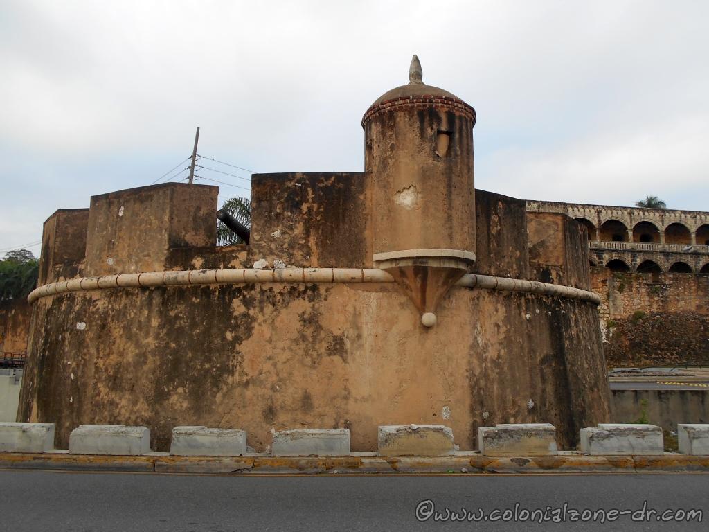
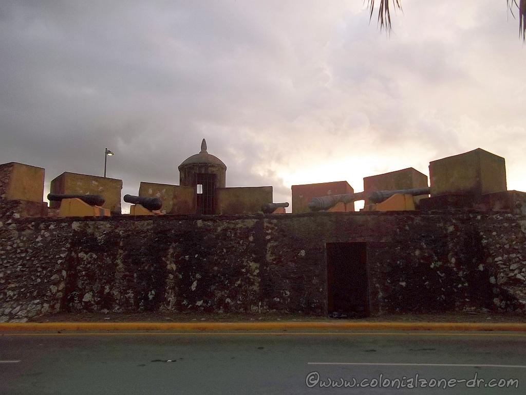
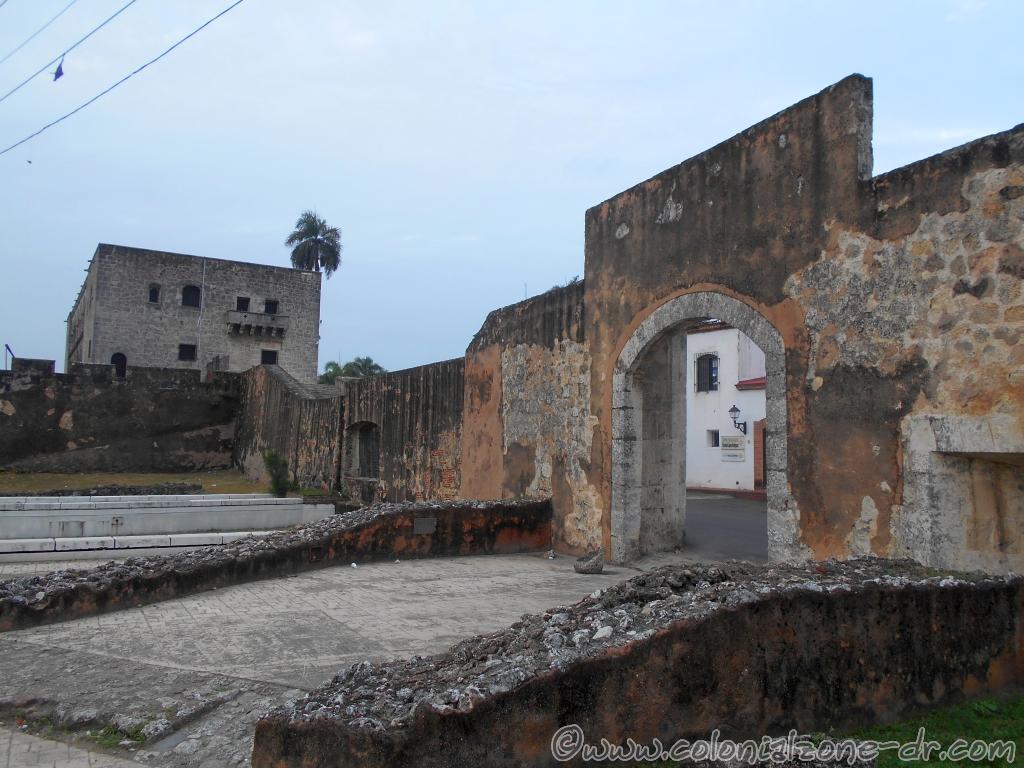
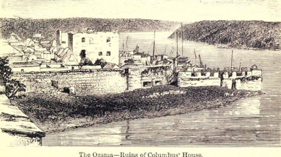
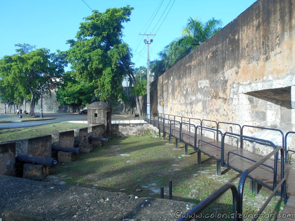
The walls of the north side of the old city of Santo Domingo are all but lost with a few small exceptions. From Fuerte Santa Bárbara and the battery of the Angulo, on the eastern edge of the colonial city along Rio Ozama, and Fuerte la Concepción, on the westernmost part of the city, little remains of the original Forts of Santo Domingo.
Fuerte de San Antón | Fuerte de San Francisco | Fuerte de San Miguel | Fuerte de San Lazaro | Fuerte de la Caridad
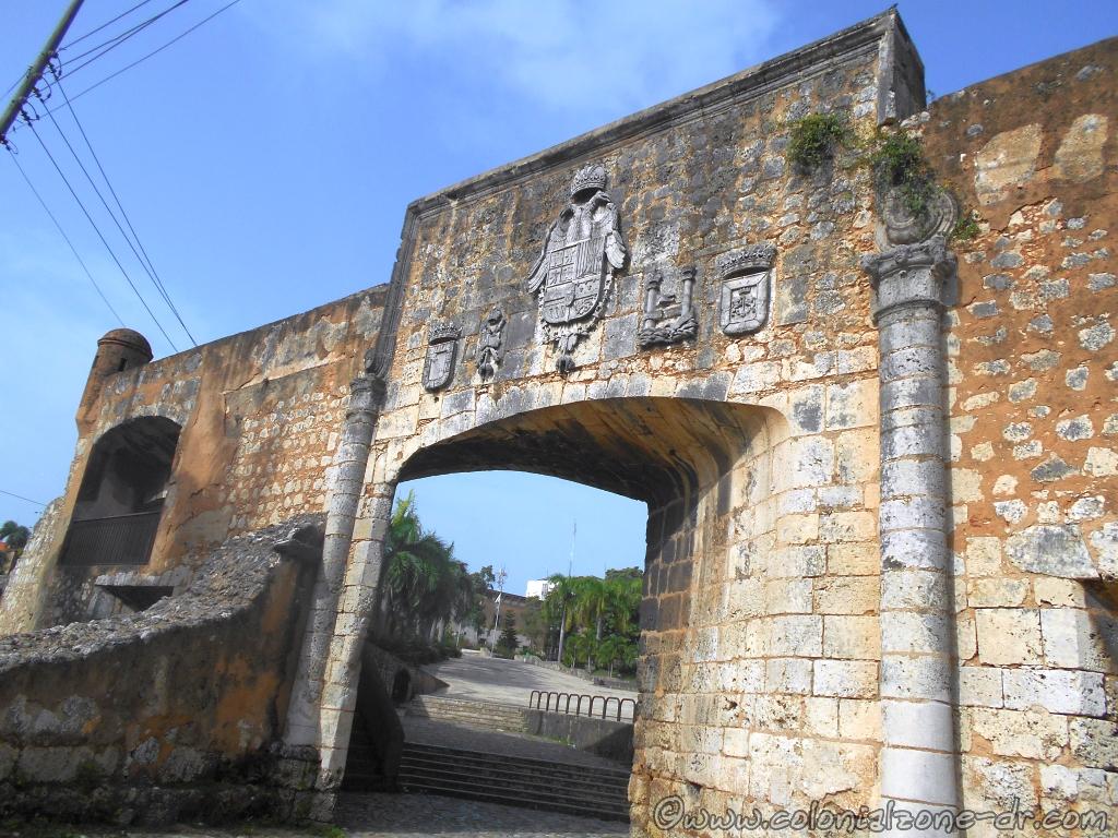
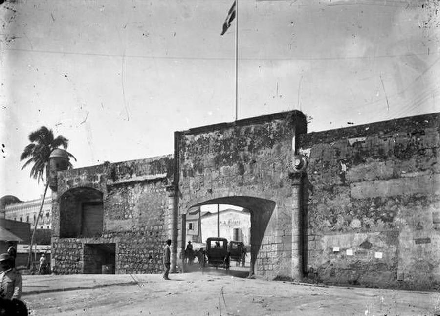
Most people visiting the Colonial City think that the walls surrounding the city only ran along the waters’ edge, the Caribbean Sea and up to Rio Ozama. But, there was more to protecting this important Colonial City than that. Many of the attacks on the city of Santo Domingo came from the land surrounding the city. The walls and forts were needed to protect the city from land attacks as well. This is why the entire city was surrounded by walls and forts.
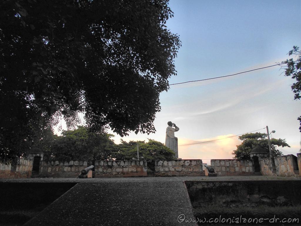
It is sad to think that much of the history and these forts along the north side of the Colonial City are destroyed. Their walls are either destroyed or hidden behind modern buildings and forgotten.
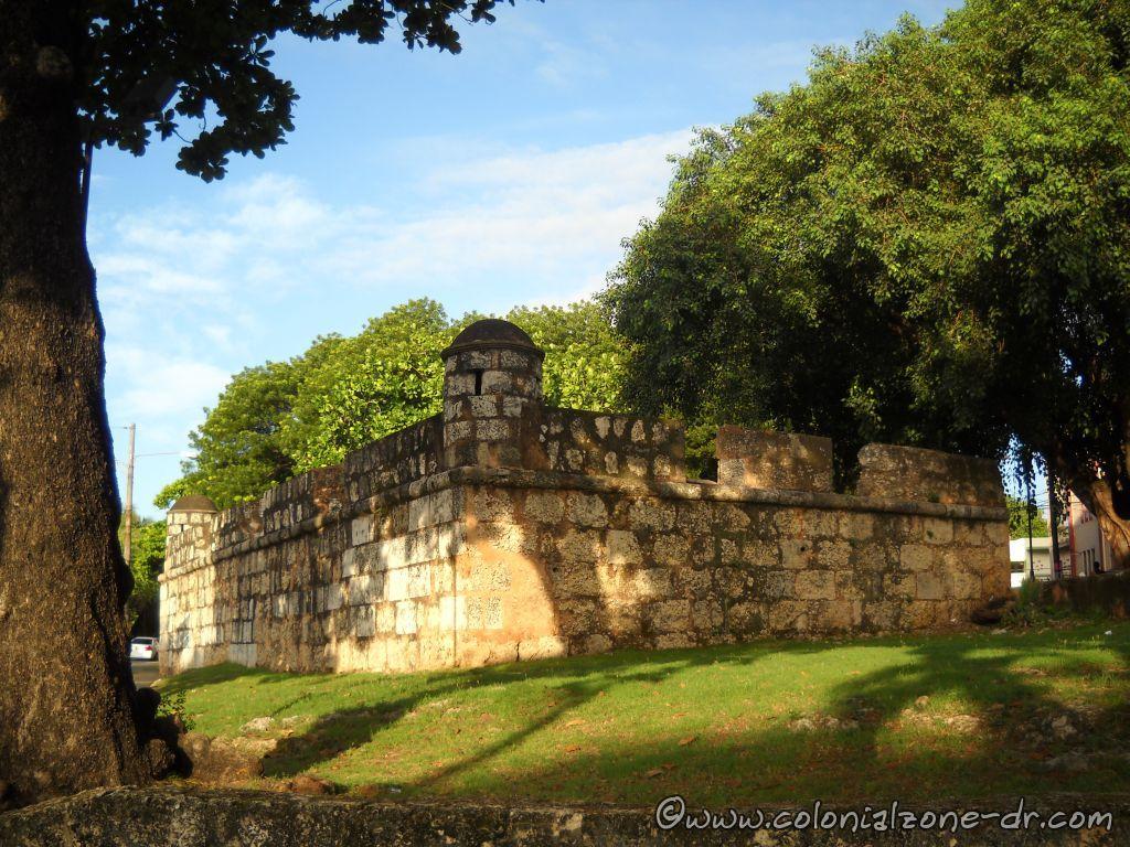
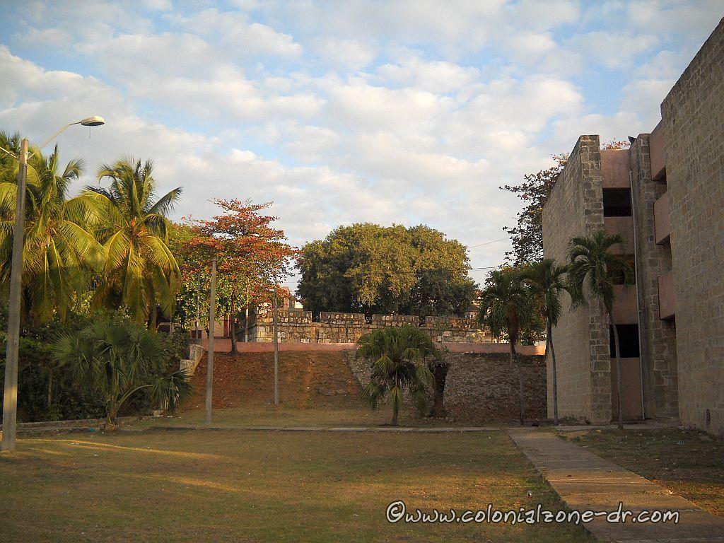
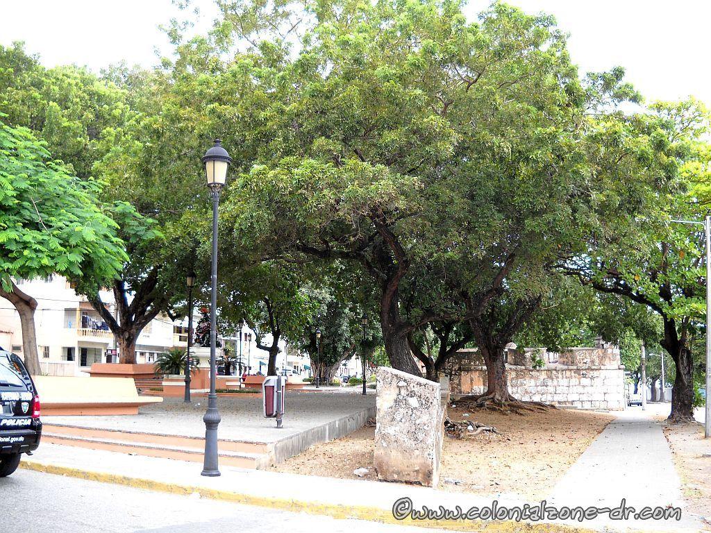
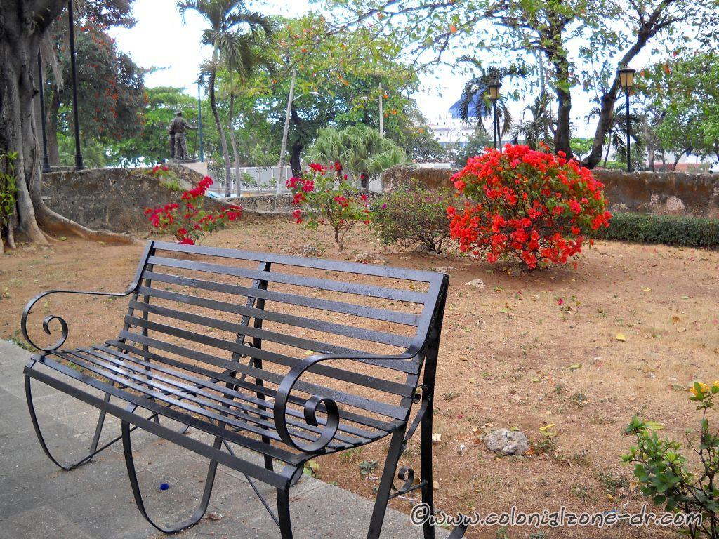
These lost, or almost lost Fuertes/Forts and Murallas/Walls (east to west) are Fuerte San Antón, Fuerte de San Francisco, Fuerte San Miguel, Fuerte San Lázaro and Fuerte de la Caridad. It is easiest to see these walls walking from the Barrio of Santa Bárbara along Av. La Mella, crisscrossing between the streets of Duarte, General Cabral, Juan Isidro Pérez all the way down to Palo Hincado. (You can check the old html – nonresponsive map of the Colonial Zone and see the locations of these walls.)
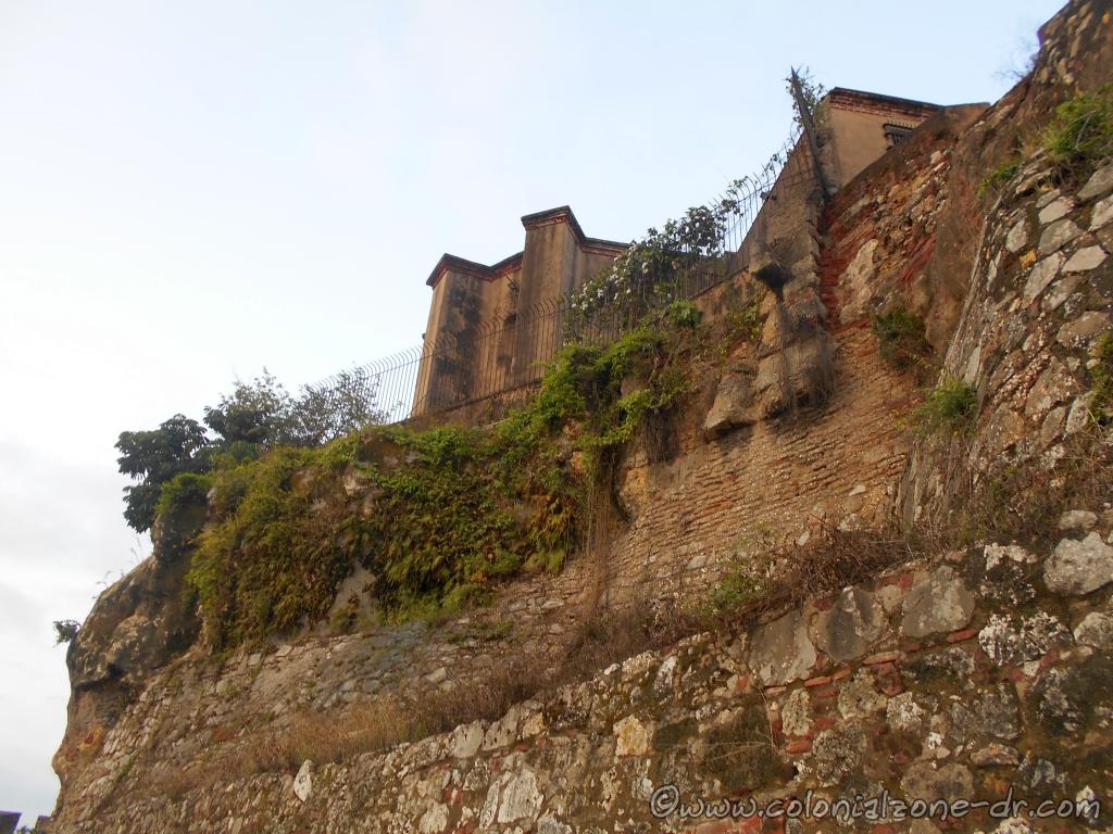
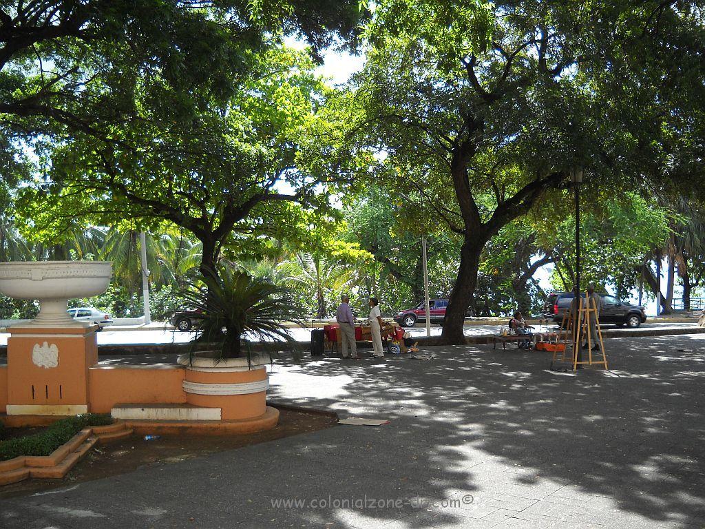
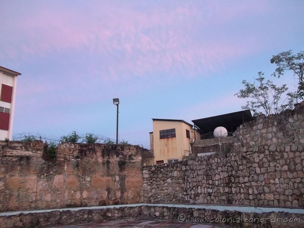
Fuerte de San Antón
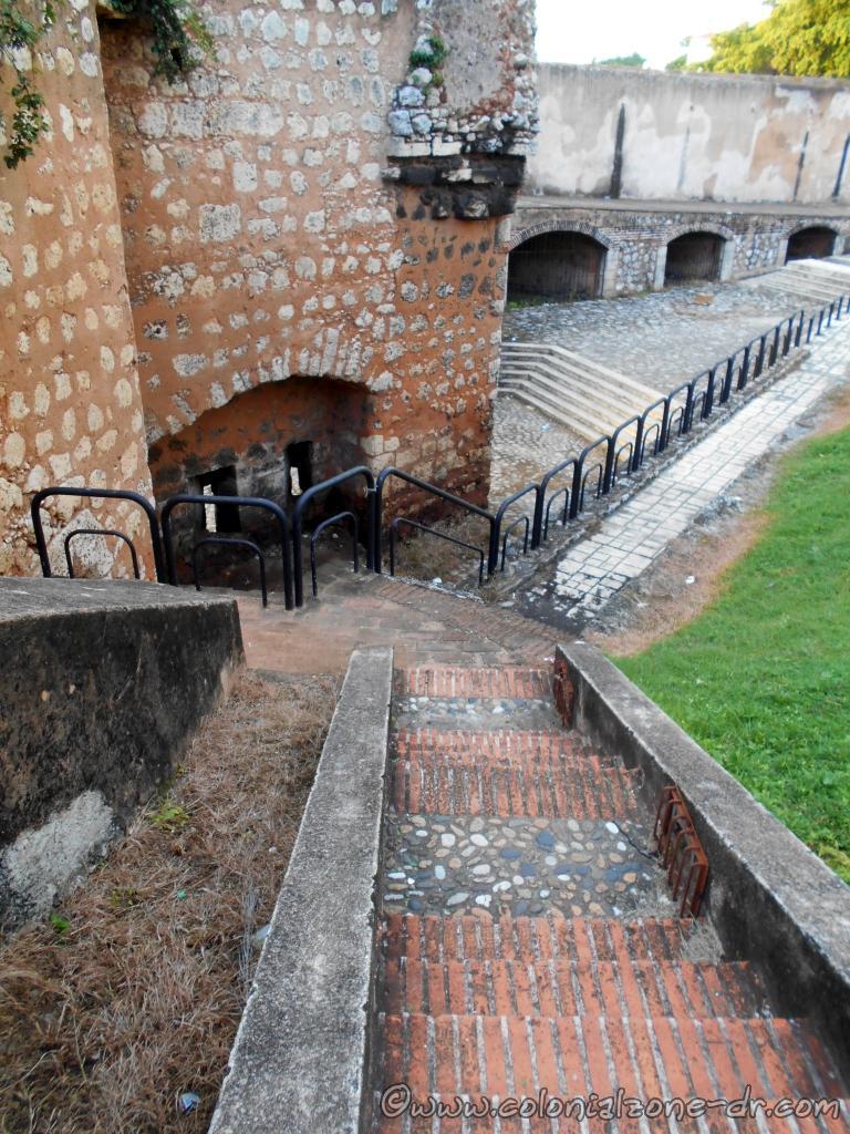
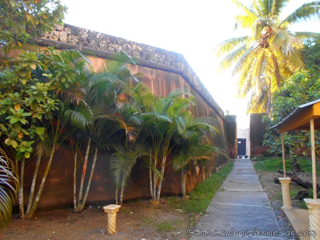
Designed by J. B. Ruggero in 1672, it is one of the seven bastions surrounding the city in the north. It was not in the best location at the bottom of a hill so it was rebuilt many times. The Ermita de San Antón sits along this wall at the Plaza San Antón. The catwalk is still visible on the top of the mural. It can be seen at the beginning of Santa Bárbara and behind the small chapel, Ermita de San Antón.
Directions: Hostos and General Cabral along Ave. Mella
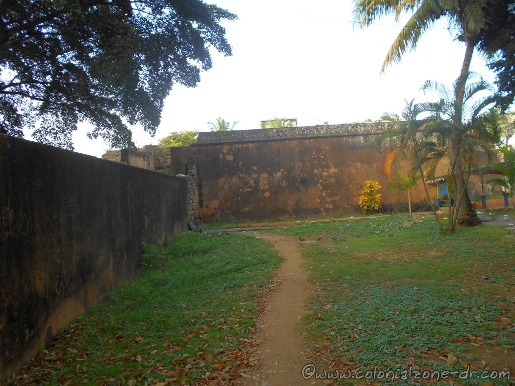
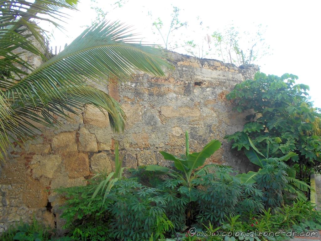
Fuerte de San Francisco
Located between the Forts of San Miguel and Ermita de San Antón, there is nothing left of this fort but a few small traces. Its wall, at one time, connected chapel or Ermita de San Antón and Ruins of the San Francisco Monastery. The fort was demolished at the end of the 19th century.
Directions: Duarte and Vicente Celestino Duarte and General Cabral and Avenue Mella
Fuerte de San Miguel
Located in front of the church of San Miguel. All that is left of this fort is a wall that is in bad decay. More information about the Iglesia San Miguel.
Directions: Juan Isidro Pérez and José Reyes
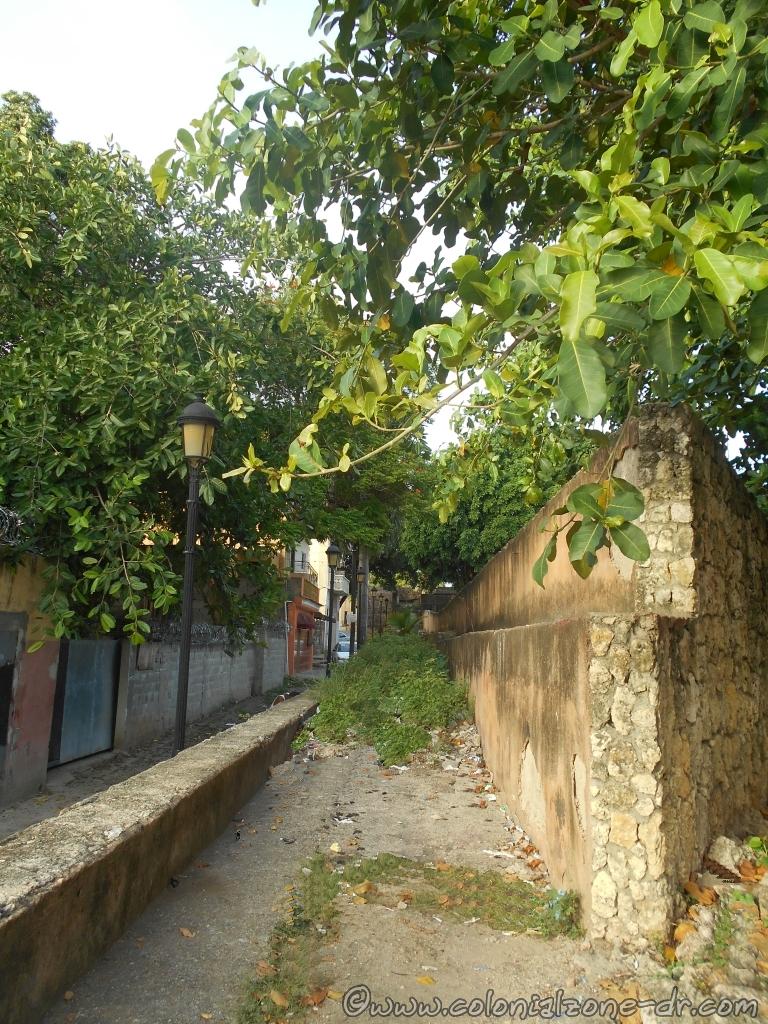
Fuerte de San Lazaro

Constructed at the end of the 17th century using a pentagon shape. It is the only fort that has a strong double ramp leading up to the fort. This is very unique and is the only stronghold that has this type of incline. More information about the Iglesia de San Lazaro.

Directions: Juan Isidro Pérez coming in from Santomé and José Reyes
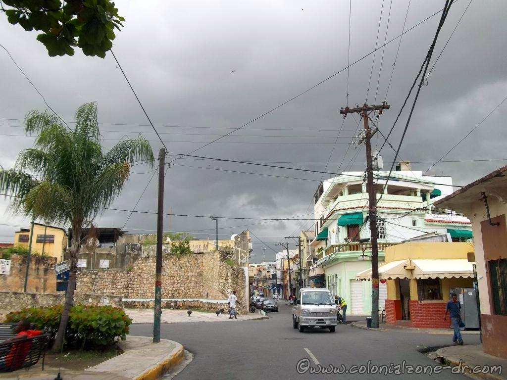
Fuerte de la Caridad/ Fort of Charity
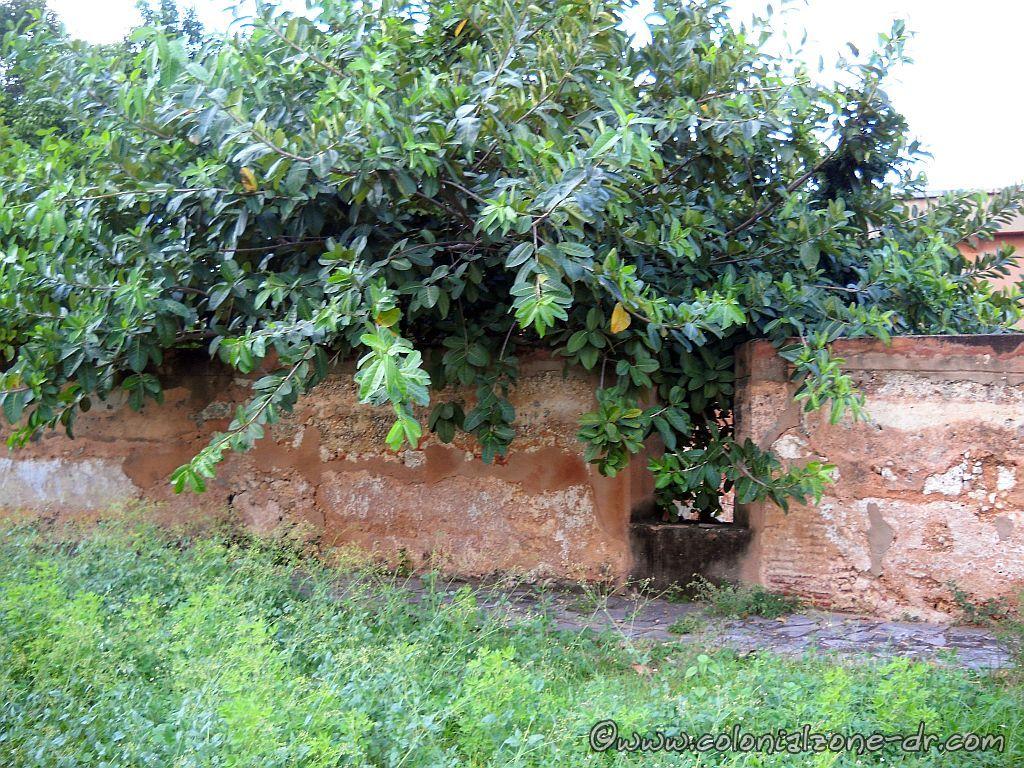
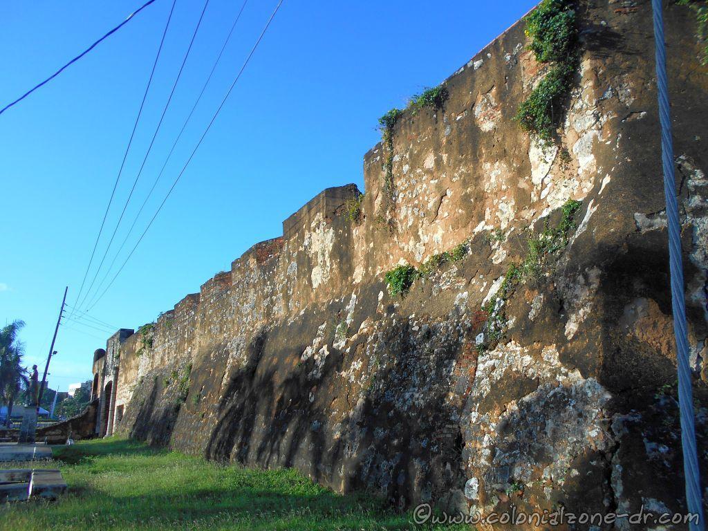
Fuerte de la Caridad is part of the northern section of the wall, built in the late seventeenth century. It can be seen in ruins hidden behind some buildings.
Directions: Juan Isidro Pérez #215 and Mella
Walk The Wall Tour
These forts and walls are a much-overlooked part of the Colonial City. To understand the history of this important colonial city I suggest that when visiting that you “Walk The Wall” as I call it. I do a tour where we walk the wall and just talk and enjoy the less-visited parts of the city. The tour is very casual and leisurely. At your pace and see what you are interested in seeing. If you are interested please email me at jan@colonialzone-dr.com