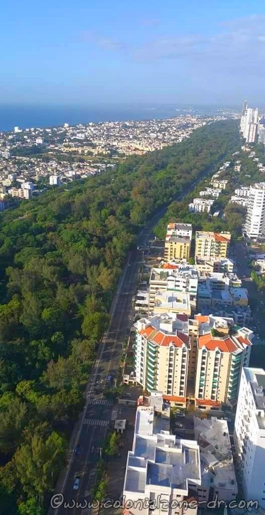
Parque Mirador del Sur is the first ecological park of Santo Domingo. It is one of the most important elements of the network of green spaces in the city.
Parque Mirador del Sur is the first ecological park of Santo Domingo.
Parque Mirador del Sur is a 4 mile long shaded space that is ideal for leisure and recreation within the city. There are many cliffs and caves in the area that were used as settlements for the indigenous people of the island. Designated paths for walking, jogging, skating and bike riding plus a skateboard ramp and an exercise area make it the perfect place to enjoy the outdoors. There is even a man-made lake with rowboats in this green area. The interesting murals throughout the park and a beautiful fountain make it the perfect place to be.
Location:
The park extends from Avenida Abraham Lincoln to Ave. Luperon in Santo Domingo South, Districto Nacional.
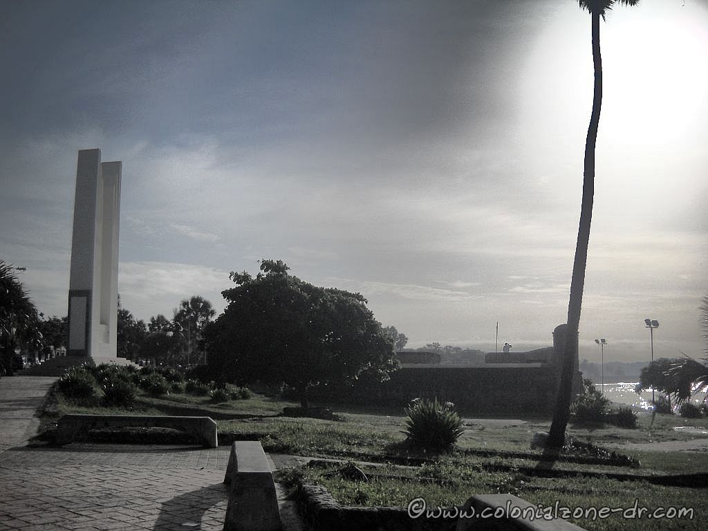
The Fuerte San Gil, one time named Fuerte del Matadero / Slaughterhouse Fort, is a 3-sided polygon fort. It was built between 1503 and 1510. This important fort was the first part of the defense of the walled city of Santo Domingo now called Zona Colonial or Ciudad Colonial.
This fortification was a very important bastion to protect the city from Pirate and marauder attacks. The watchtower was located on the far corner of the fort. It gave a perfect view of any ship coming from the Caribbean Sea trying to enter the ports of the city. The tower also gave a great view of the sand patch below. This beach is riddled with caves that are excellent places for hiding.
Fuerte San Gil and the beach and caves below
Fort Collapsed
In 1887 the original fort collapsed due to rough seas. The fort was recently renovated. The renovation closely replicates the original. The area has been cleaned up and again is a nice place to visit.
The circular inner wall of Fuerte San Gil
The fort was ignored for many years and was in disrepair. The beach below was piled high with garbage and was home to stray dogs and homeless people who made the coral caves below their home.
Fuerte San Gil the wall that faces the sea.
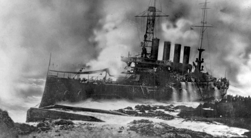
The Wreck of the Memphis
The USS Tennessee, also referred to as “Armored Cruiser No. 10”, and later renamed Memphis, was a United States Navy armored cruiser first launched on November 8, 1906 and wrecked on August 29, 1916.
The U.S.S. Memphis was anchored in the harbor near the rocky cliffs at Fuerte San Gil for most of that summer. The crew noticed the sea was turning rough even though there was no storm. The giant waved approached too fast for the crew to prepare to leave the harbor. The waves overtook the fighting ship and put out the fires in the 2 running boilers as she started to strike the rocky harbor bottom damaging her propellers. 3 giant waves, the largest was said to be at least 70 feet high (some accounts say 100 feet), battered the ship, rolled her and pushed her into the rocky coral cliffs.
The USS Memphis about 30 minutes after the ship first grounded on the coast of Santo Domingo.
Within 90 minutes the ship sunk. Memphis’s casualties numbered 43 men dead or missing and 204 badly injured. Slowly the entire ship was scrapped. Memphis’s ship’s bell was given to the people of Santo Domingo to thank them for their help in rescuing the ship’s crew. The bell is located in the Iglesia Las Mercedes.
*There is a grassy area beside the Fort San Gil. It is a nice place to sit and watch the sea.
*There used to be a restaurant located inside the fort. The barbecue pit can still be seen in the center of the old fort.
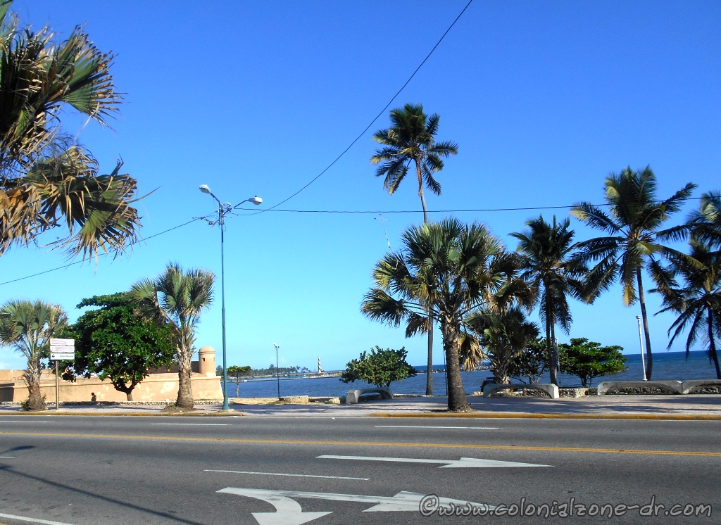
Fort San Gil in front of the Malecon
Location
The Southwest most part of Zona Colonial where the Zone meats up with Ciudad Nueva. The fort is on the Malecón (Avenida George Washington) at the intersection of Palo Hincado. The bright white Obelisco Hembra is in the front of the fort. Be careful when crossing the Malecon. Pedestrians DO NOT have the right or way.
All You Want To Know About The Oldest City In The Americas